IbizaPreservation is Creating First Detailed Mapping of Island
This project is undertaking the most detailed mapping to-date of the island, at a scale of 1:5000, with the aim of generating precise data to help measure trends around urbanisation, agricultural uses, abandonment of land and afforestation etc.
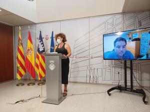
Earlier this month IbizaPreservation presented the results of the first phase of their land use study at the Consell of Ibiza. The results will be invaluable for building a deeper understanding of Ibizas territory and landscape which will help Ibiza to develop and plan / manage land use more sustainably moving forward.
The project is was co-funded by the Consell od Ibiza, the A Team Foundation and MAVA, and is being carried out in partnership with OBSAM of Menorca.
Read more in English.
Read more in Spanish.